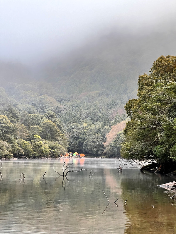
Mt. Xinan and Shishan Xiu Lake: A Hike Surrounded by High Mountains and Alpine Lake
This trail is for you if you are looking for treacherous terrains, mysterious alpine lakes, and spectacular high mountain views. The trail to Mt. Xinan, Shishan, and Shishan Xiu Lake is near Tengjhih National Forest Recreation Area in Taoyuan, Kaohsiung. With an abrupt 1,000 meters of elevation gain, you will reach Mt. Xinan, overlooking Shishan Xiu Lake or Shishan Xiu Hu (aka Xinan Ghost Lake), and hike to Shishan (Mt. Shi) with Jade Mountain (Yushan) by your side.
This hike is also a part of the Central Mountain Range Section South 1 trail in southern Taiwan. Camping by Shishan Xiu Lake and witnessing the mist and clouds floating above the lake makes this hiking experience even better.
Disclaimer:
All content is for inspiration only. Use Taiwan Hikes' suggestions at your own risk. We are not responsible for any losses, injuries, or damages.
Taiwan Hikes may include affiliate links. When you purchase through these links, you support our ability to continue providing FREE content — at no additional cost to you.
Table of Contents:
- Trail Information
- Personal Enjoyment
- Map/GPX Data
- How to Get There
- Day 1 Itinerary: Stunning Views from Mt. Xinan and Shishan Xiu Lake
- Day 2 Itinerary: Mt. Shi Accompanied by Yushan Mountain Range
- Day 3 Itinerary: Mt. Beidawu by Our Side
- About Mt. Xinan, Mt. Shi (Shishan) and Shishan Xiu Lake
- Related Posts
Trail Information
Trail Name: Mt. Xinan (Xinan Mountain), Mt. Shi (Shishan), Shishan Xiu Lake 溪南山, 石山, 石山秀湖
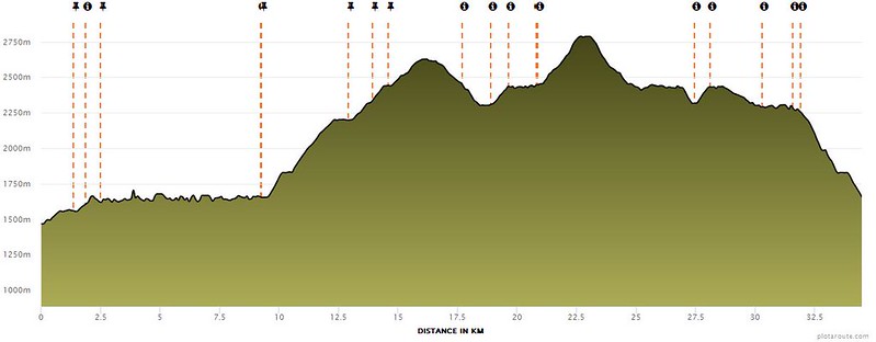
Distance: 34.5 km (21.5 miles)
Route type: Out and back
Days/Hours Needed: 2 to 3 days
Total Ascent/Descent: 2,491 m/2,300 m
Best Time to Go: All year-round, but it can be scorching hot and humid in summer.
Permits: Required. Click here to apply. I'll wrirte a detailed post about how to apply for permits for hiking in Taiwan soon.
Phone Reception: None by the lake or Mt. Shi and Mt. Xinan. You might find some on the sections overlapped with the Central Mountain Range South Section 1.
Water Resources: Some small ponds on Shishan Forest Road. If you camp by the lake, you can go further to draw fresh water near Xiu Lake.
Difficulty Level:
Peaks and Places to Reach:
Distance: 34.5 km (21.5 miles)
Route type: Out and back
Days/Hours Needed: 2 to 3 days
Total Ascent/Descent: 2,491 m/2,300 m
Best Time to Go: All year-round, but it can be scorching hot and humid in summer.
Permits: Required. Click here to apply. I'll wrirte a detailed post about how to apply for permits for hiking in Taiwan soon.
Phone Reception: None by the lake or Mt. Shi and Mt. Xinan. You might find some on the sections overlapped with the Central Mountain Range South Section 1.
Water Resources: Some small ponds on Shishan Forest Road. If you camp by the lake, you can go further to draw fresh water near Xiu Lake.
Difficulty Level:

Peaks and Places to Reach:
- Mt. Xinan 溪南山, 2,650 meters (8,694 feet) above sea level. There is a Class 3 Triangulation Stone. The views are great. Hikers can overlook Shishan Xiu Lake and see Jade Mountain nearby.
- Mt. Shi or Shishan 石山, 2,813 meters (9,229 feet) above sea level.
- Shishan Xiu Lake 石山秀湖, 2,300 meters (7,546 feet) above sea level.
- Camping gear and meals for two or three days
- A 3L water bag and water filter or purification tablets. Or at least boil the water before drinking.
Your support empowers Taiwan Hikes to create more FREE content, making your hiking adventures in Taiwan even more enjoyable. Click "Buy Me A Coffee" or use our affiliate links to support.
Personal Enjoyment
Things I Enjoy:
- The view from Mt. Xinan overlooking Shishan Xiu Lake is spectacular. The floating clouds over the lake made the view even more gorgeous.
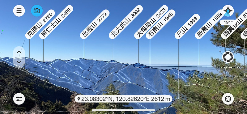
- I got to see many 100 Peaks on the way to the lake, Jade Mountain (Mt. Yu/Yushan, 3,952 meters), Mt. Guan 關山 (3,668 meters), Mt. Beidawu 北大武山 (3,092 meters), the southernmost 100 Peaks in Taiwan, and more.
- Sitting by Shishan Xiu Lake is such a surreal experience. I circled around the lake and sat quietly, watching the sunlight and clouds dancing.
The Thing I Don't Enjoy:
Overcrowded if you go on the long weekends in Taiwan. Some hikers played loud music and didn't give a damn about LNT. Some even washed their greasy pots in the lake.
Map/GPX Data
Date of Hike: Group hike with LOHAS on February 26-28, 2022
Route map for Mt. Xinan, Shishan And Lake 溪南山, 石山, 石山秀湖 by Anusha Lee on plotaroute.com
Click Menu in the map to download, print, or share the map.
You can see more options after clicking the Play button.
Click to change the speed to meet your condition.
You can see more options after clicking the Play button.
Click
 to change the speed to meet your condition.
How to Get There
Hikers must drive or arrange a pickup to the trailhead at 18km of Tengjhih Forest Road. If you don't want to do the 9.2 km hike from the 18 km of Tengjhji Forest Road, you need to arrange another pickup to the trailhead of Central Mountain Range Section South 1. You can contact the local organization for this pickup.
Day 1 Itinerary: Wonderful Views from Mt. Xinan and Shishan Xiu Lake
Brief itinerary:
Day 1: Tengjhih Forest Road 18Km ➔ Tengjhih National Forest Recreation Area ➔ Chuyuan Mountain Checkpoint ➔ trailhead of Central Mountain Range Section South 1 ➔ junction to Mt. Xinan ➔ container shelter ➔Mt. Xinan ➔junction to Shishan Xiu Lake ➔ Shishan Xiu Lake and camped by the lake's west.
GPS coordinates of Central Mountain Range Section South 1: 23.084308, 120.789186.
This trail is the southmost hike I've ever done in Taiwan. You can visit Glenn's OutRecording for more trails in southern Taiwan.
We stayed at a B&B in the Jiaxian District of Kaohsiung City 高雄市甲仙區 for one night. I heard some hikers who did Central Mountain Range Section South 1 camped at the parking lot near the Medium Altitude Experimental Station of Endemic Species Research Institute 特有生物研究保育中心, 中海拔實驗站 (aka 特生中心) between 6 and 7 km on Shishan Forest Road. The parking lot has a canopy over it.
Extra 9.2 km Walk but The Views Worth It
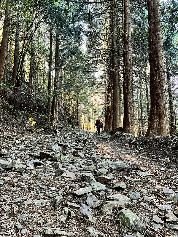
06:15 We left the B B and headed to Tengjhih Forest Road. The sun and woods along the road were beautiful.
07:15 We arrived at the 18 km mark of Tengjhih Forest Road, which is also the pickup location of the Liuguei Tourist Association.
07:28 After getting ready, we started our hike.
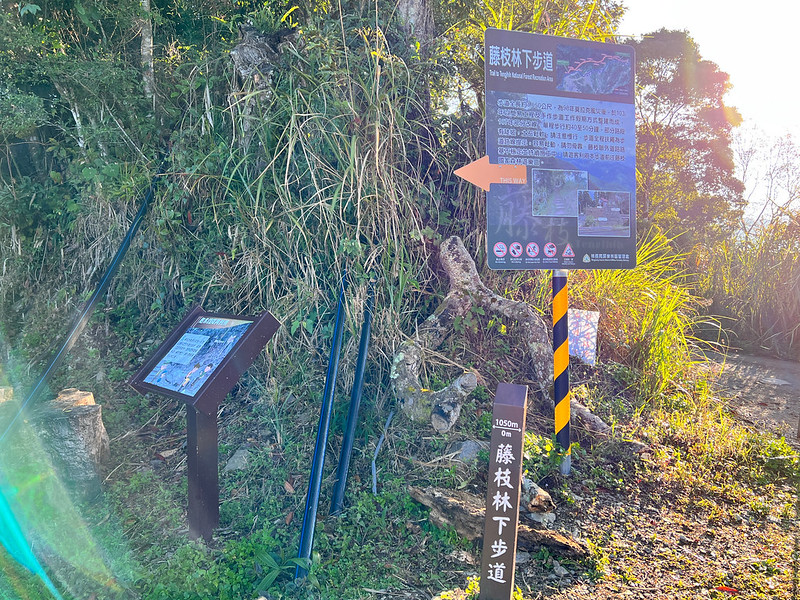
07:37 Reached the trailhead of Tengjhih Forest Trail. The length of this trail is only 1,050 meters, and it was built after Typhoon Morakot, one of the deadliest typhoons in Taiwan. We hadn't reached our trail yet.
The Reward of Not Taking the Shortcut: Distinguish Mt. Shi and Mt. Xinan.
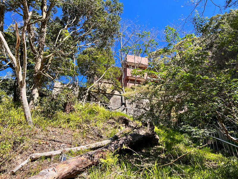
08:02 Reached Tengjhih National Forest Recreation Area 藤枝國家森林遊樂區.
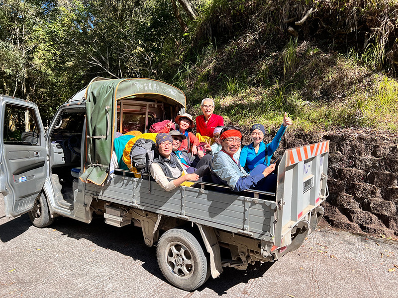
We started seeing many hikers taking the pickup trucks and going to the actual trailhead. As you can see, those trucks aren't for taking humans. We also thought it might be difficult to find camping spots by the lake later.
The distance from the 18km mark of Tengjhih Forest Road to the actual trailhead is 9.2 km, but the views along the way weren't boring at all. Look at this valley and the layers of mountains.
We saw a prominent square peak on the ridge from Shishan Forest Road. The peak next to Mt. Shi was also visible.
You can see why Mt. Shi is nicknamed the Dabajian (3,505 meters) of the south 南部的大霸尖山.
When writing this post, I just returned from my hike to Mt. Dabajian for the second time. You can see the resemblance between them.
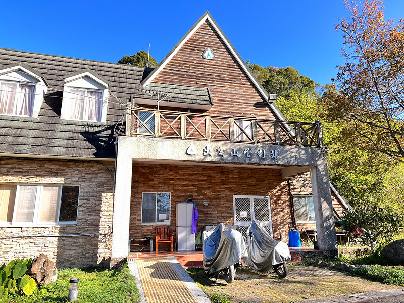
08:26 We passed Chuyuan Mountain Checkpoint 出雲山管制站 and walked on Shishan Forest Road now.
The Actual Trailhead with A Steep Ascending
10:07 After 3 hours, we finally reached the actual trailhead. This spot is also the trailhead for hikers who want to do Central Mountain Range Section South 1. Next, we passed Endemic Species Research Institute.
If you take the pickup, this is the place where the drivers drop you off.
We took a short break and adjusted our backpacks. Then, here came the fun part, steep ascending. An elevation gain of 1,000 meters to Mt. Xinan was waiting for us.
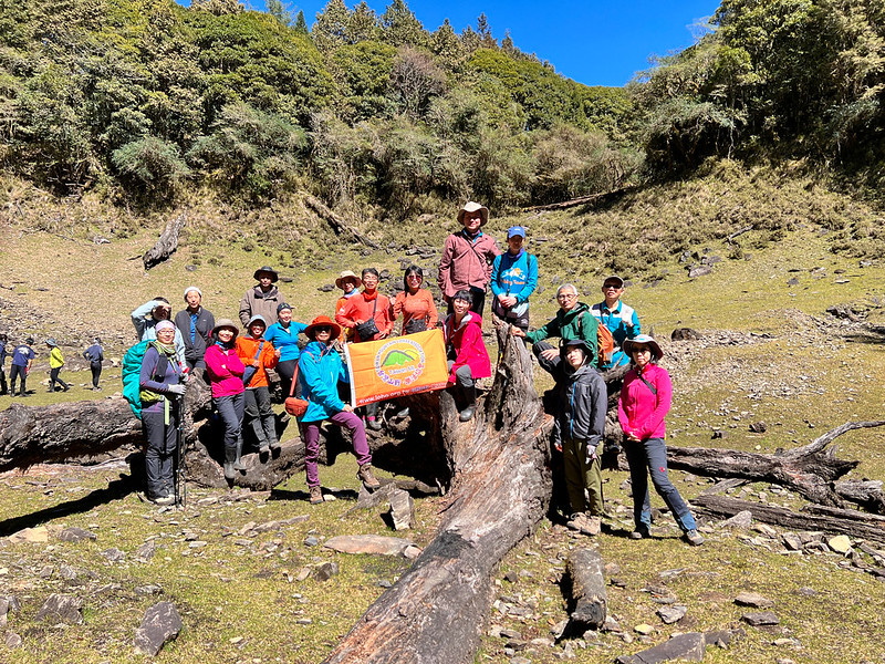
11:23 We reached the so-called big Taiwan Cypress table, which is the fallen huge trunk on the trail. The discarded mask underneath the trunk looked annoying, so I decided to pick it up and put it in my trash bag.
12:10 We took a 40-minute lunch break.
13:00 We passed the junction and took the left one to Mt. Xinan.
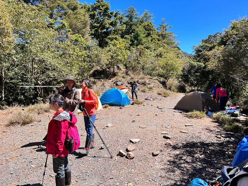
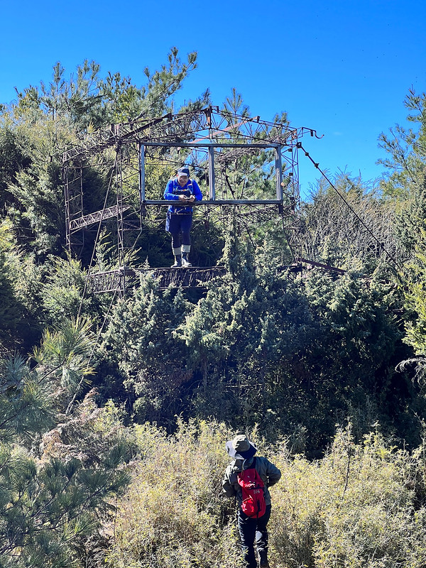
13:22 We passed the container shelter (2,326 meters). This shelter was the observation spot of the Endemic Species Research Institute. Now, it's turned into an important stop for the Central Mountain Range Section South 1. There is a water tank near the shelter.
I didn't get inside to look. Some hikers will stay there overnight. According to my hiking friend, Glenn from OutRecording, it smelled terrible.
14:16 I saw the yellow mark CM600, 426/449 on the tree. You'll see many of them if you do the section south 1.
Spectacular Views from Mt. Xinan
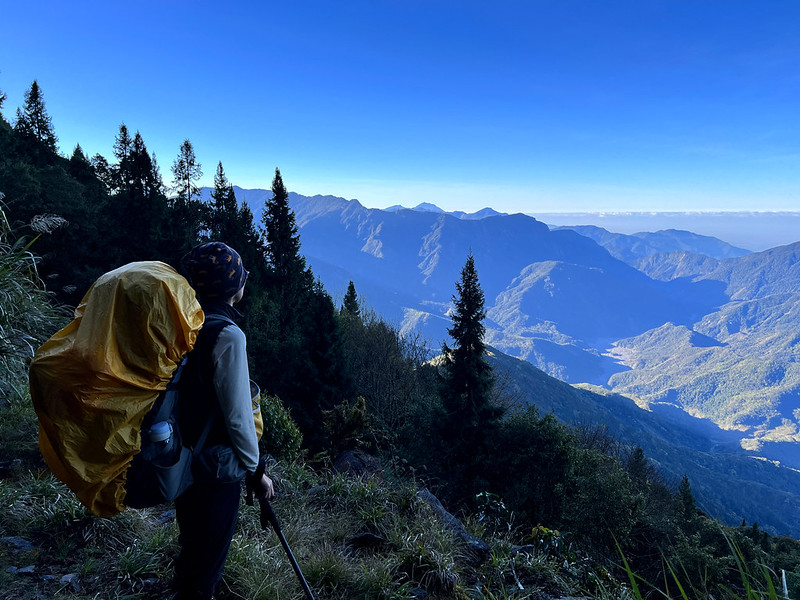
14:53 We finally reached Mt. Xinan, 2,650 meters. When we got there, it was cloudy, and I didn't see anything. Then, suddenly, the clouds were blown away by the wind, and I saw a lake. Our guide, Xiao Tsai, told us that it was Shishan Xiu Lake, and we all took photos of the view again.
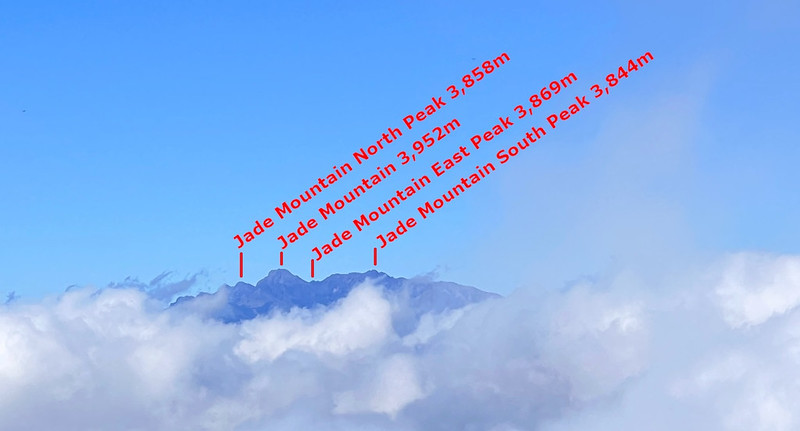
On the other side, I saw Mt. Guan 關山 3,668 meters, Mt. Yu (Jade Mountain) 玉山 3,952 meters, and Mt. Dasuiku 大水窟山 3,642 meters and more.
From Mt. Xinan, we could see many tents on the west side of the lake.
15:17 We headed to Shishan Xiu Lake. From here, it was mostly descending.
15:54 We reached a junction and took a left.
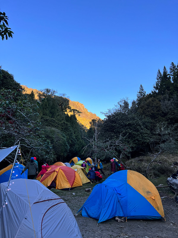
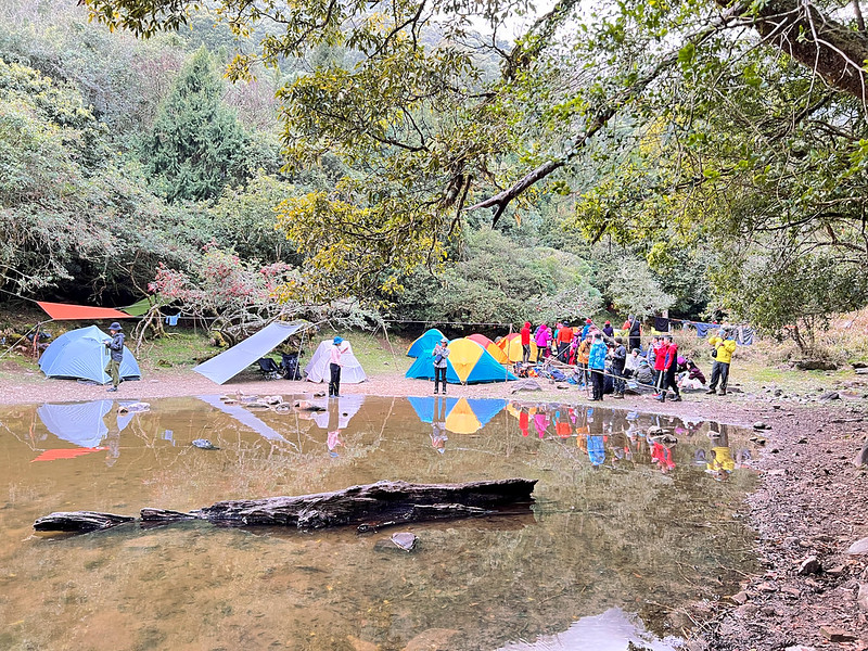
16:00 We arrived at the campsite. It wasn't a surprise that those spots on the west side of the lake were occupied. Lucky for us, we still could find places to pitch our tents.
The Risk of Booking Ons-site Catering Service
Hiking with a big group of people is common in Taiwan. It is also common for big hiking groups to hire on-site catering service to save weight.
Unfortunately, things can also go wrong with on-site catering service. Not long after we pitched our tents and waited for our dinner to be ready, a group of older hikers arrived next to our tents. They were standing there and discussing things.
Later, they told me their guides hired three on-site catering service, but only two showed up. All the loading ended up with those two porters. As a result, they were slow and couldn't get to the lake on time. If you want your porters to hike with you, you must pay extra.
Without food, stoves, and tents, those hikers could only wait. Finally, their porters arrived when we were ready to sleep near 9 pm.

I saw four hikers struggling with pitching up their tent, and I figured I wouldn't be able to sleep with their loud noise. So I got out of my tent and asked our guides for help. Within 10 minutes, their tent was appropriately pitched, and I could sleep.
I didn't mean booking on-site catering service is wrong. What's wrong is we can't leave the essentials in other people's hands. Having said that, I made the same mistake on my second visit to Mt. Dabajian.
Day 2 Itinerary: Mt. Shi Accompanied by Yushan Mountain Range
Brief itinerary:
Day 2: Back to the junction and took the forest road. Took a left ➔ Mt. Shi ➔ took the same trail back ➔ junction to the meteor crater ➔ back to the campsite by the lake.
Day 2: Back to the junction and took the forest road. Took a left ➔ Mt. Shi ➔ took the same trail back ➔ junction to the meteor crater ➔ back to the campsite by the lake.
Our guides told us we would have breakfast at 5 am. I woke up after 3 am and went out to look for the starry sky. I don't have a DSLR camera (I don't plan to buy one, either). I used my iPhone 13 Pro to shoot those photos. I'm satisfied with the results.
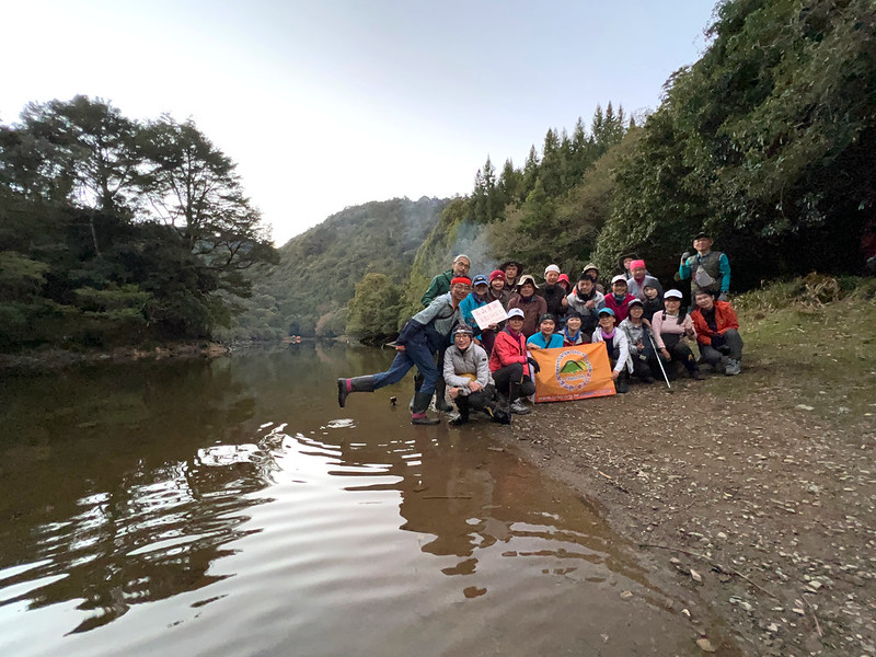
After breakfast, we took photos by the lake. On Day 2, we went to Mt. Shi and returned to the lake later. So, we only needed to carry the essentials like food, water, rain gear, etc.
07:11 We took the same way back to the junction and then took the opposite direction from yesterday's hike.
From here, we were on Shishan Forest Road. The trail was flat and easy to hike.
We passed a junction and a campsite, but I forgot to record the time. There was a sign saying that Mt. Xinan was one of the ten famous mountains in Kaohsiung County before Kaohsiung County merged with Kaohsiung City.
07:44 We reached an opening of the trees and saw the lake, Mt. Xinan, Jade Mountain, and other 100 Peaks.
While on the way to Mt. Xinan, I saw Mt. Beidawu (3,092 meters) and Mt. Damumu or DaMuMuShan 大母母山 (2,423 meters) again. I hope I can hike those mountains someday.
The Spectacular Yushan Mountain Range from Mt. Shi
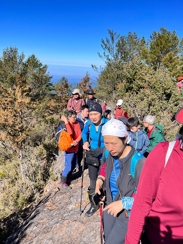
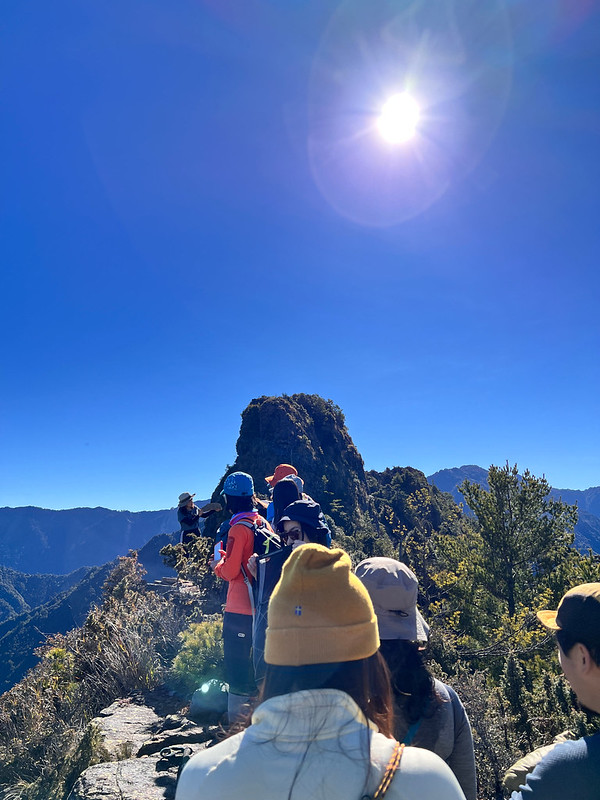
09:12 We arrived at Mt. Shi, but we were queueing on the small ridge for at least 10 minutes to take the peak photos.
I could see Alishan's Mt. Shi from Kaohsiung's Mt. Shi.
09:51 We retreated from the ridge after we were done with the photos. We waited near the old fire lookout for our hiking mates to finish.
10:36 On the way back to the lake. I met several hikers going to South Section 1 who are hiking guides from LOHAS. One said it's easier to run into each other on the trails than in the cities. He wasn't wrong.
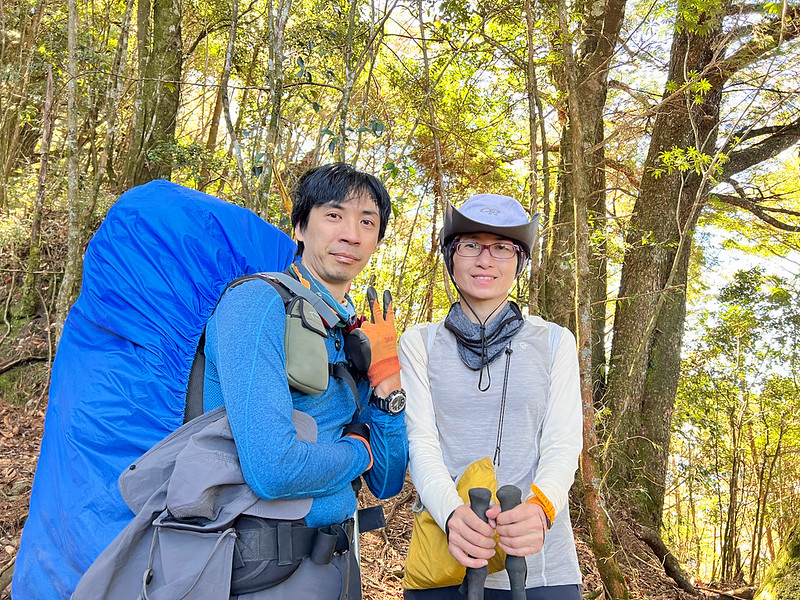
Visited the So-called Meteor Crater
10:47 We returned to the junction of the meteor crater. Rose, one of our guides, was waiting at the junction to ensure we went in the right direction.
Within two minutes, we reached the vast crater. Honestly, I can't find any information officially proving this meteor crater is real, but it's become the name to call this place among hikers.
We had a one-hour lunch break here and took photos. This place was huge.
11:46 We headed back to the lake.
12:07 We passed the campsite and several signs. One of them said the distance from here to Mt. Xinan is 1.4 km, and it takes 50 minutes.
12:08 Returned to our tents.
Explore Shishan Xiu Lake
After getting back to the campsite, we didn't have any hike to do on Day 2. So instead, it was time to explore the lake.
I started from the south side of the lake, which is my left side when facing the lake. It's evident that not many people come here because I had to squeeze myself into the branches to make my own way.

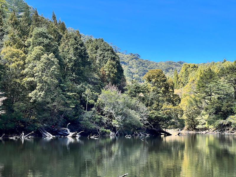
But the trees lying in the lake were beautiful. I tried to take my own photos with my new iPhone 13 on the tripod, and I almost kicked my phone into the water.
Several banks looked like small beaches. Some hikers camped there to avoid the crowd and noise. I wish I could camp there, too.
Soon, I reached the east side of the lake. After arriving here, I told myself we should have camped here. It was much quieter here, and taking extra walks was worth it.
I spent a lot of time filming on the east side. Our hiking mates arrived here from the north.
Then I realized there was a trail on the north side of the lake, and it was much easier to walk there. Well, at least it was easier for me to return.
It took me around 2 hours to circle the lake, including taking photos and sitting by the lake.
Day 3 Itinerary: Mt. Beidawu by Our Side
Brief itinerary:
Day 3: Left the lake ➔ junction and a campsite. Took a left. ➔ back to the junction to Mt. Xinan ➔ trailhead of Central Mountain Range Section South 1 ➔ the ride to Tengjhih Forest Road 18 km.
Day 3: Left the lake ➔ junction and a campsite. Took a left. ➔ back to the junction to Mt. Xinan ➔ trailhead of Central Mountain Range Section South 1 ➔ the ride to Tengjhih Forest Road 18 km.
On our last day at Shishan Xiu Lake, we got up around 5 am. My sleeping pill wore off around 3 am, so I got up to enjoy the starry night again. It was quiet, as it was supposed to be.
I heard snoring while passing by tents on the way to the lake. It's good for us to enjoy nature, but we, or mother nature, can't shake off the side effects we bring.
Around 4 am, my hiking mates gradually got up. Finally, it was time for me to pack my tent and gear. At 5 am, when we gathered for breakfast, our guides were amazed by how fast we were.
After breakfast, we took group photos as usual. Then, gazing at this mysterious lake one more time, I bid the lake a slight farewell, hoping to return.
06:18 We left the lake.
06:59 Reached Shishan Forest Road. We enjoyed a relatively flat and even terrain for about 20 minutes.
We didn't take the exact same trail back. So, we didn't pass the campsite. Instead, we made a small loop to connect to the junction leading us to Mt. Xinan on Day 1.
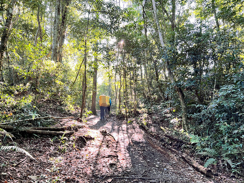
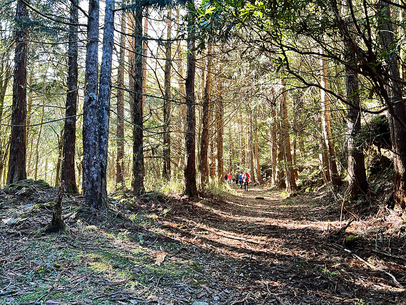
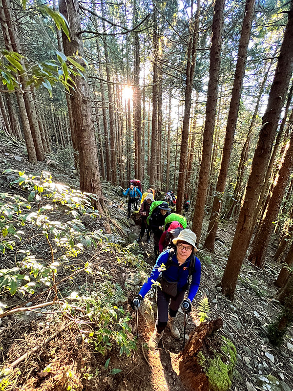
07:20 We reached a steep slope and ascended again. The morning sun seeped into the slender Japanese Cedar trees casting a warm glow in the woods and my fellow hiking mates.
From time to time, the views of those spectacular mountains in southern Taiwan were displayed by our side, and it was difficult to ignore them.
07:54 We reached the junction and took the left one.
08:13 Another junction.
08:44 We took a long break and waited for our hiking mates to catch up. We also took this chance to finish the trail snacks.
10:02 We arrived at the trailhead. This time, our guide, Xiao Tsai, decided to save us another 9.2 km hike. So, we happily hopped on the truck that was supposed to transport vegetables and returned to Taipei earlier. Each of us paid an extra NT$200 for the ride.
Last but Not Least: Wildflowers
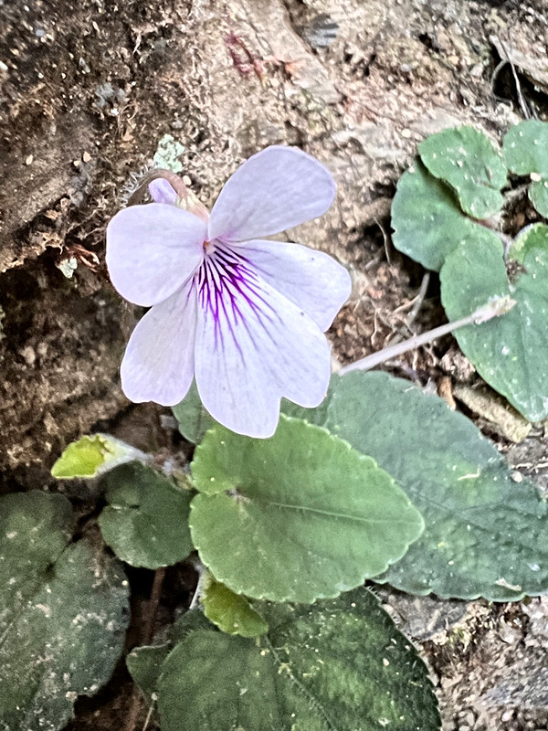
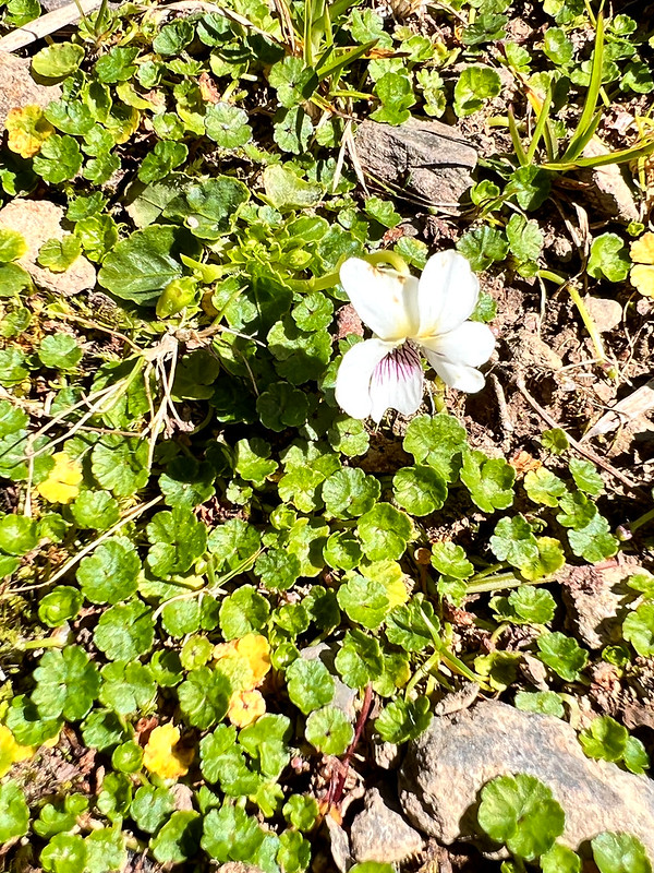
Amazingly, I saw two types of violas on this hike. Their leaves are different.
For more wildflowers I saw on the trails, please check out my Flowers on the Trails page.
About Mt. Xinan, Mt. Shi, and Shishan Xiu Lake
This trail is in Taoyuan District, Kaohsiung City 高雄市桃源區, in southern Taiwan.
Mt. Xinan or Xinanshan 溪南山
Before Kaohsiung County merged with Kaohsiung City on December 25, 2010, the county government held a ballot to let people select the 10 most famous mountains in Kaohsiung.
The first one on the list was Mt. Yu (Yushan or Jade Mountain, 3,952 meters), the highest mountain in Taiwan. Mt. Guan or Guanshan we saw from Mt. Shi or Shishan is listed.
Then, Mt. Xinan, 2,650 meters above sea level. It used to take only one day for tourists to access Mt. Xinan years ago. After Shishan Forest Road collapsed, Mt. Xinan and Shishan Xiu Lake became remote until the hiking community built another trail.
Mt. Xinan is also one of the peaks (not listed as 100 Peaks) hikers will visit when they do the Central Mountain Range South Section 1. This is because Mt. Xinan belongs to one of the sub-mountain ranges of the Central Mountain Range.
The trail to Mt. Xinan is steep. There will be at least 1,000 meters of elevation gain in about a 4 km hike.
Mt. Shi or Shishan 石山 in Kaohsiung
There are two Mt. Shi or Shishan in Taiwan, one in Alishan, Chiayi, and the other in Kaohsiung. You can see Alisha's Shishan (2,682 meters above sea level) from Kaohsiung's 2,813 meters.
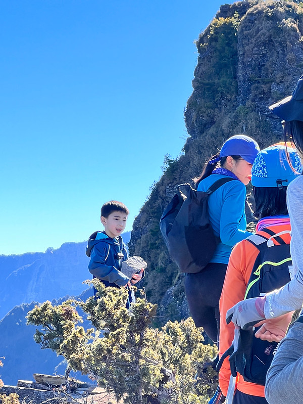
I haven't been to Alisha's Shishan, but according to the hikers' report, you can see Shishan and Mt. Xinan from there, too.
If you take Shishan Forest Road, you'll see a protruding square peak on the ridge. Shishan is right next to this square peak. Many hikers dub this peak Kaohsiung's Dabajian Mountain.
Hikers who do the Central Mountain Range South Section 1 will also visit Shishan.
Shishan Xiu Hu or Shishan Xiu Lake 石山秀湖
Shishan Xiu Lake is also called Xinan Gui Lake, aka Xinan Ghost Lake 溪南鬼湖. There are three alpine lakes in Taiwan with 'ghost' names:
- Dagui Lake, aka the Great Ghost Lake 大鬼湖 on the border of Maolin District, Kaohsiung City 高雄茂林區, and Yangping Township, Taitung County 台東縣延平鄉.
- Xiaogui Lake, the Little Ghost Lake 小鬼湖 on the border of Wutai Township, Pingtung County 屏東縣霧臺鄉 and Beinan Township, Taitung County 台東縣卑南鄉.
- Shishan Xiu Lake is also called Xinan Gui Lake, aka Xinan Ghost Lake 溪南鬼湖 in the Taoyuan District of Kaohsiung City.
LOHAS did an 8-day hike to visit the Great Ghost Lake and the Little Ghost Lake in 2020, and this is a challenging hike even for seasoned hikers in Taiwan. You can check out LOHAS' itinerary for details.
Lucky for us, Shishan Xiu Lake or Xinan Ghost Lake is manageable for us. The most extended length of Shishan Xiu Lake is 200 meters, and the widest part is close to 100 meters. This lake looks like an emerald from the peak of Mt. Xinan.
Most hikers camp on the west side of Shishan Xiu Lake. If you don't mind walking extra meters to avoid the crowds, you can camp on the east side during popular weekends.
We drew the water from the lake, but you can go further to draw fresh water from the river. The GPS coordinates are 23.090223 120.816745.
This hike to Mt. Xinan, Shishan, and Shishan Xiu Lake is an excellent match for those who seek hiking experience and great views in one go. If you get a chance to visit Kaohsiung and are looking for multiday hikes, you can put this one on your list.


