Top Hiking Trails in Taiwan You Can Reach by Public Transport in 2025 — Every County and City Included!
With hundreds of breathtaking trails across Taiwan, picking just a few can be overwhelming. Whether you're visiting for days or weeks, this guide makes it easy to choose the best hikes for your adventure!

This post is a simplified guide to Taiwan's best hikes, but if you want to save even more time, the full digital guide has everything you need—detailed bus routes, timetables, and clickable maps to trailheads and bus stops. No more digging through websites or piecing together transport info—grab the guide and start your adventure hassle-free! Click here to get yours and explore Taiwan's trails with ease!

Disclaimer:
All content is for inspiration only. Use Taiwan Hikes' suggestions at your own risk. We are not responsible for any losses, injuries, or damages.
Taiwan Hikes may include affiliate links. When you purchase through these links, you support our ability to continue providing FREE content — at no additional cost to you.
Table of Contents:
- Trails in Northern Taiwan: Taipei, Keelung, Taoyuan, Hsinchu, and Miaoli
- Trails in Central Taiwan: Taichung, Changhua, Nantou, Yulin, and Chiayi
- Trails in Southern Taiwan: Chiayi, Tainan, Kaohsiung, and Pingtung
- Trails in Eastern Taiwan: Yilan, Hualien, and Taitung
- Bonus: Taiwan's Best High Mountain Trails with Must-Have Checklists
Important: These trails may be temporarily closed due to bad weather conditions. Check the latest updates before heading out.
Trails in Northern Taiwan: Taipei, Keelung, Taoyuan, Hsinchu, and Miaoli
Taipei and Keelung
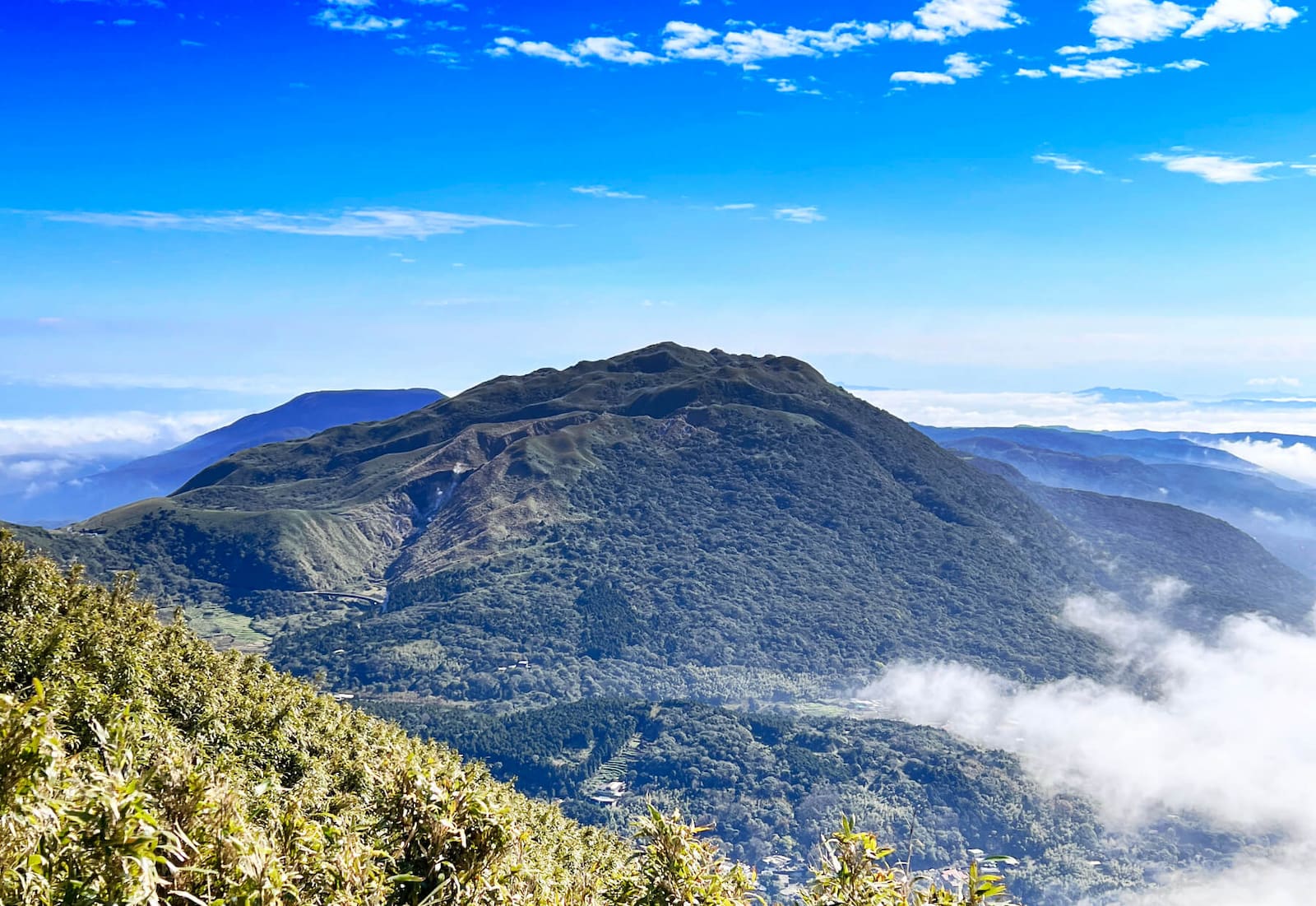
Mt. Qixing and Xiaoyoukeng 七星山, 小油坑
- Difficulty level: 2/5
- Duration: 3-5 hours
- Distance: 4 km
- Public Transport: Take Bus 108. See the Mt. Qixing guide.
- Note: Mt. Qixing is listed as Minor 100 Peaks.
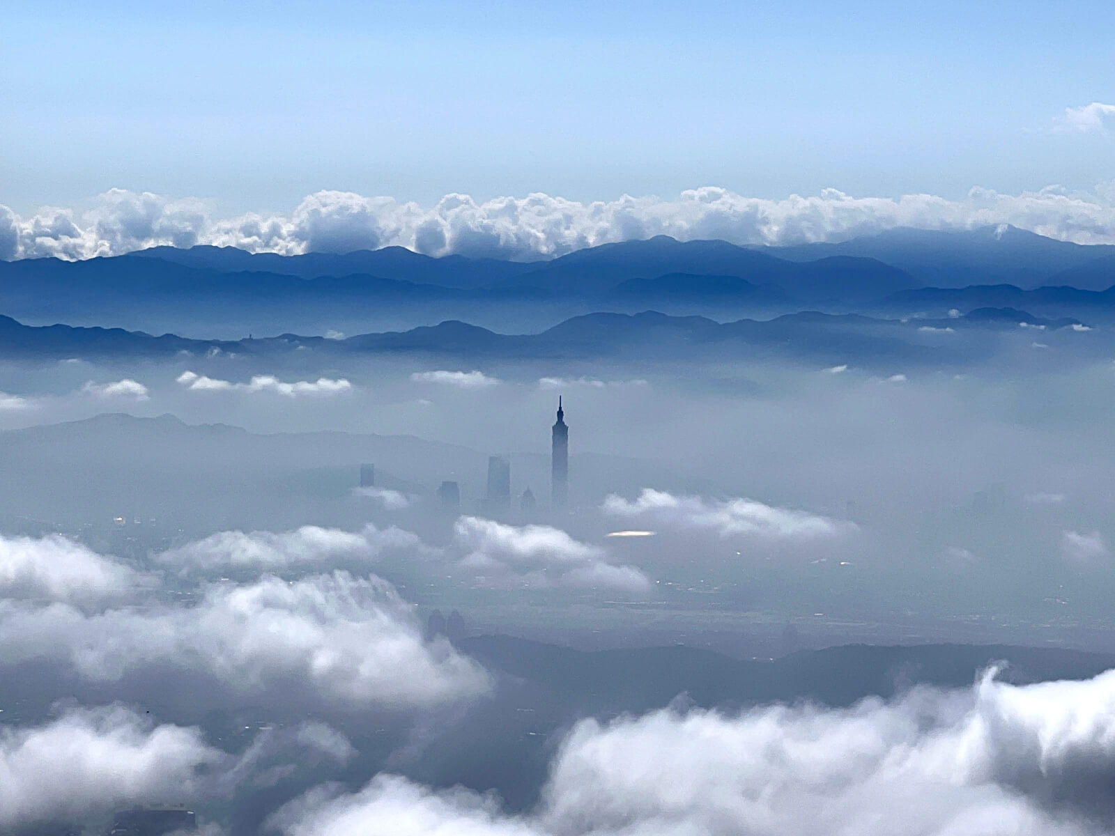
Mt. Datun Main, West, and South Peaks大屯山主峰, 西峰, 南峰
- Difficulty level: 3/5
- Duration: 4-6 hours
- Distance: 5.8 km
- Public Transport: Take Bus S6. See the Mt. Datun guide.
- Note: Mt. Datun is listed as Minor 100 Peaks.
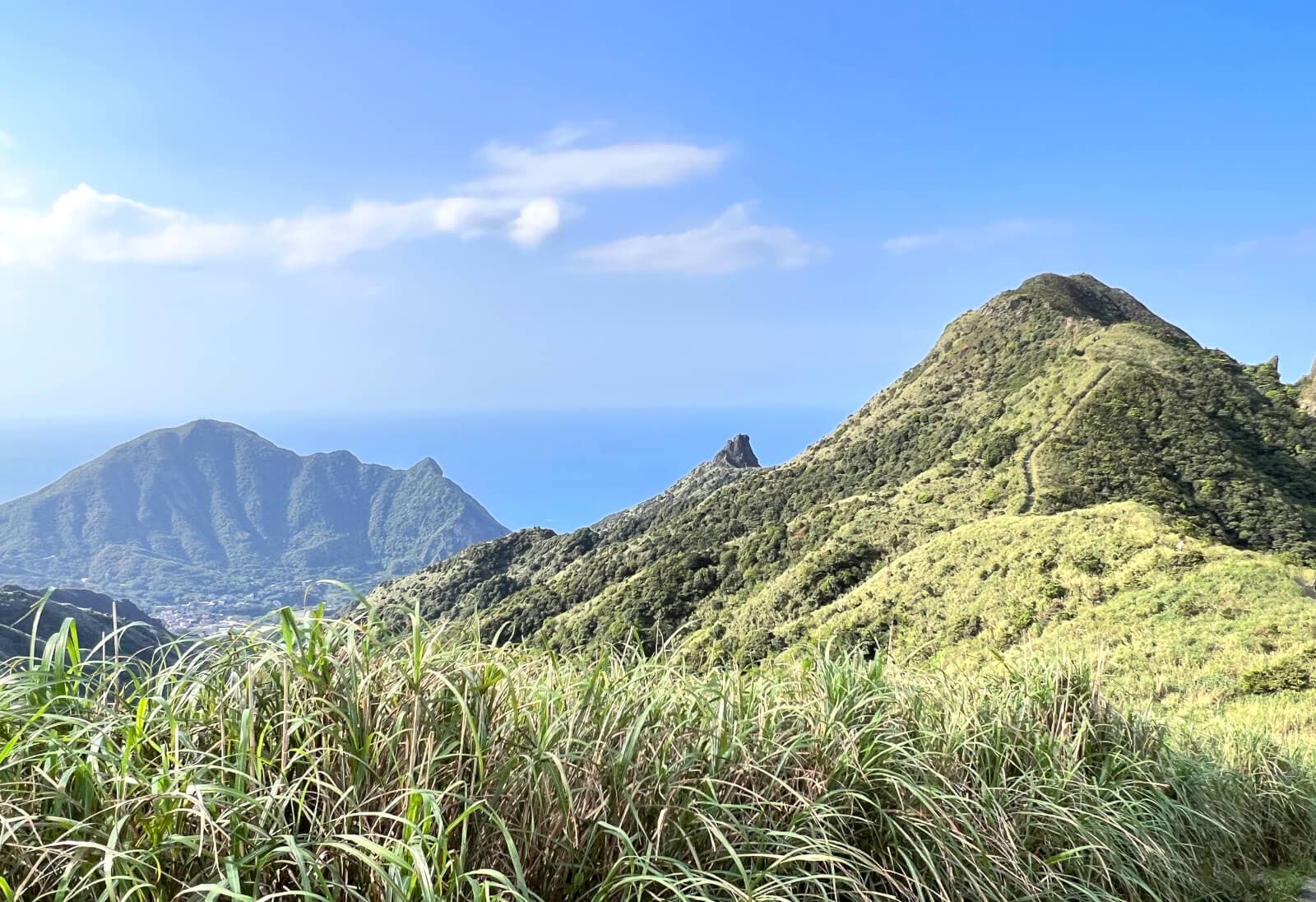
Teapot Mountain 茶壺山
- Difficulty level: 2/5
- Duration: 3-5 hours
- Distance: 6.6 km
- Public Transport: Take Bus 1062. See the Teapot Mountain guide.
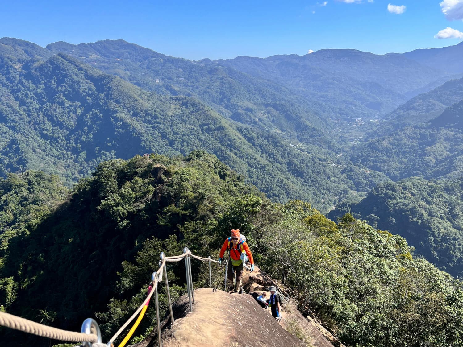
Wuliaojian 五寮尖
- Difficulty level: 4/5
- Duration: 3-5 hours
- Distance: 5.5 km
- Public Transport: Take Bus 807. See the Wuliaojian guide.
- Note: Wuliaojian is not for people who fear heights. The knife ridge will become dangerous to hike if it rains.
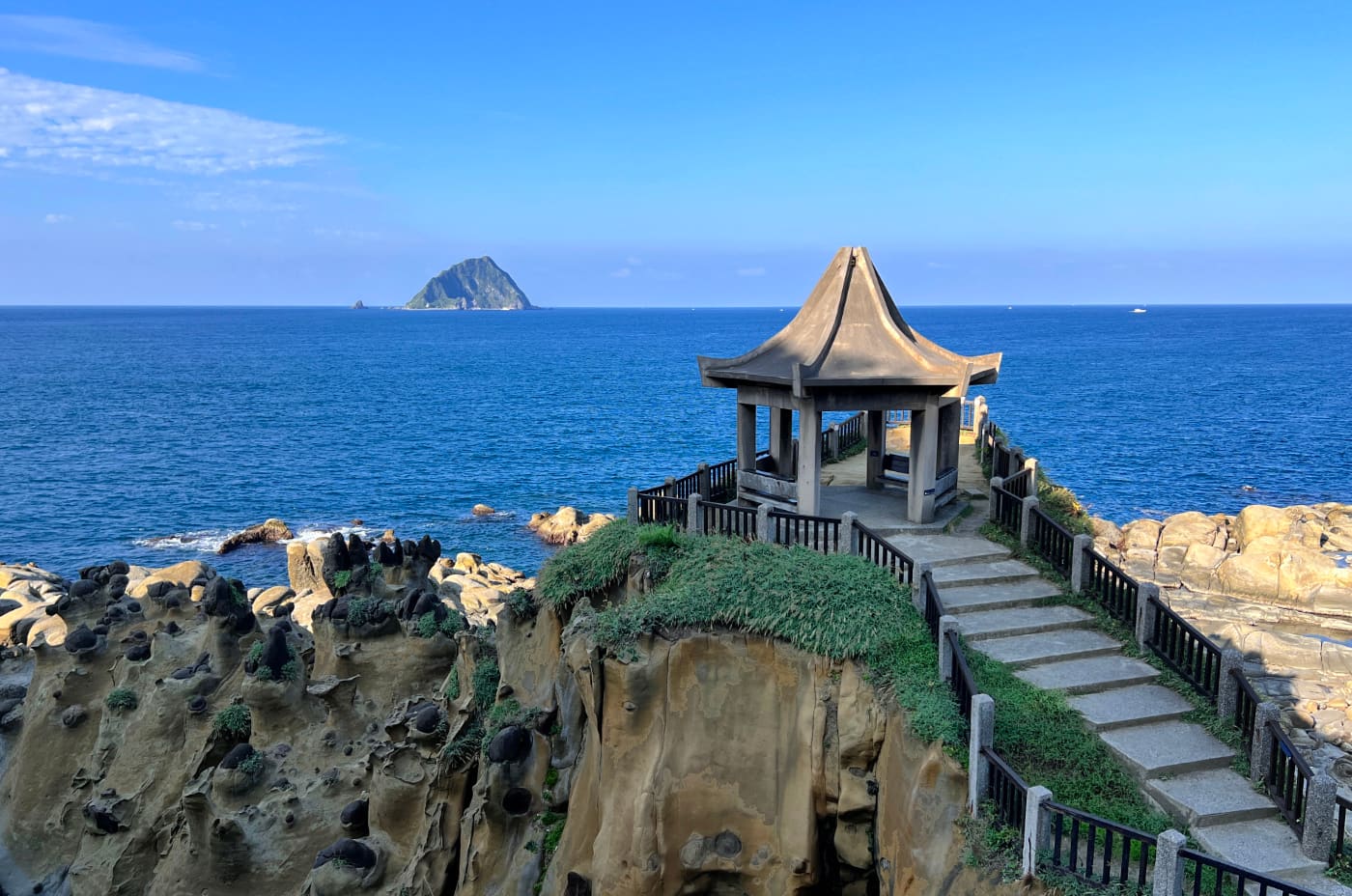
Keelung Islet and Heping Island Trail 基隆嶼, 和平島
- Difficulty level: 2/5
- Duration: one day
- Public Transport: See the Keelung Islet Lighthouse and Heping Island guide.
- Note: Keelung Islet is open for application between April 1 and October 31, 2025.
Wangyou Valley Trail 望幽谷步道 in Keelung: Trail Closed Due to Sever Landslide
Taoyuan
Mt. Dongyang (Dongyangshan) Forest Recreation Area 東眼山國家森林遊樂區
- Difficulty level: 1/5
- Duration: 3-5 hours
- Distance: Total 8 km
- Public Transport: Take Dongyanshan Route (506) and get off at Dongyanshan Forest Recreation Area.
- Note: Mt. Dongyang is listed as Minor 100 Peaks.

Sanmin Bat Cave 三民蝙蝠洞
- Difficulty level: 1/5
- Duration: 5-6 hours
- Distance: 6.2 km
- Public Transport: Take Bus F906 or 5107 to Bat Cave (Bat Hole) Stop. F906 also goes to Dongyanshan.
- Note: The trail is very slippery.
Hsinchu
Mt. Feifong, Mt. Zhongkeng, and Guanriping Trail 飛鳳山, 中坑山, 觀日坪古道
- Difficulty level: 2/5
- Duration: 3-4 hours
- Distance: 6 km
- Public Transport: Take Kuokuang Bus 1820 get off at Qionglin 芎林 stop.
- Note: Some hikers list Mt. Feifong or Mt. Zhongkeng as Minor 100 Peaks.
Mt. Shiniu (Stone Cow) 石牛山
- Difficulty level: 2/5
- Duration: 3-4 hours
- Distance: 4 km
- Public Transport: Take Guanxi Happiness Bus 幸福巴士 Guan Jin Route A or B 關金線 A or B and get off at Leeshuxiao (under the plum tree) Stop 李樹下.
- Note: Mt. Shiniu is listed as Minor 100 Peaks. The boulder at the summit is broken into two pieces. Route B is easier than Route A. Route A might be closed due to the landslide.

Miaoli
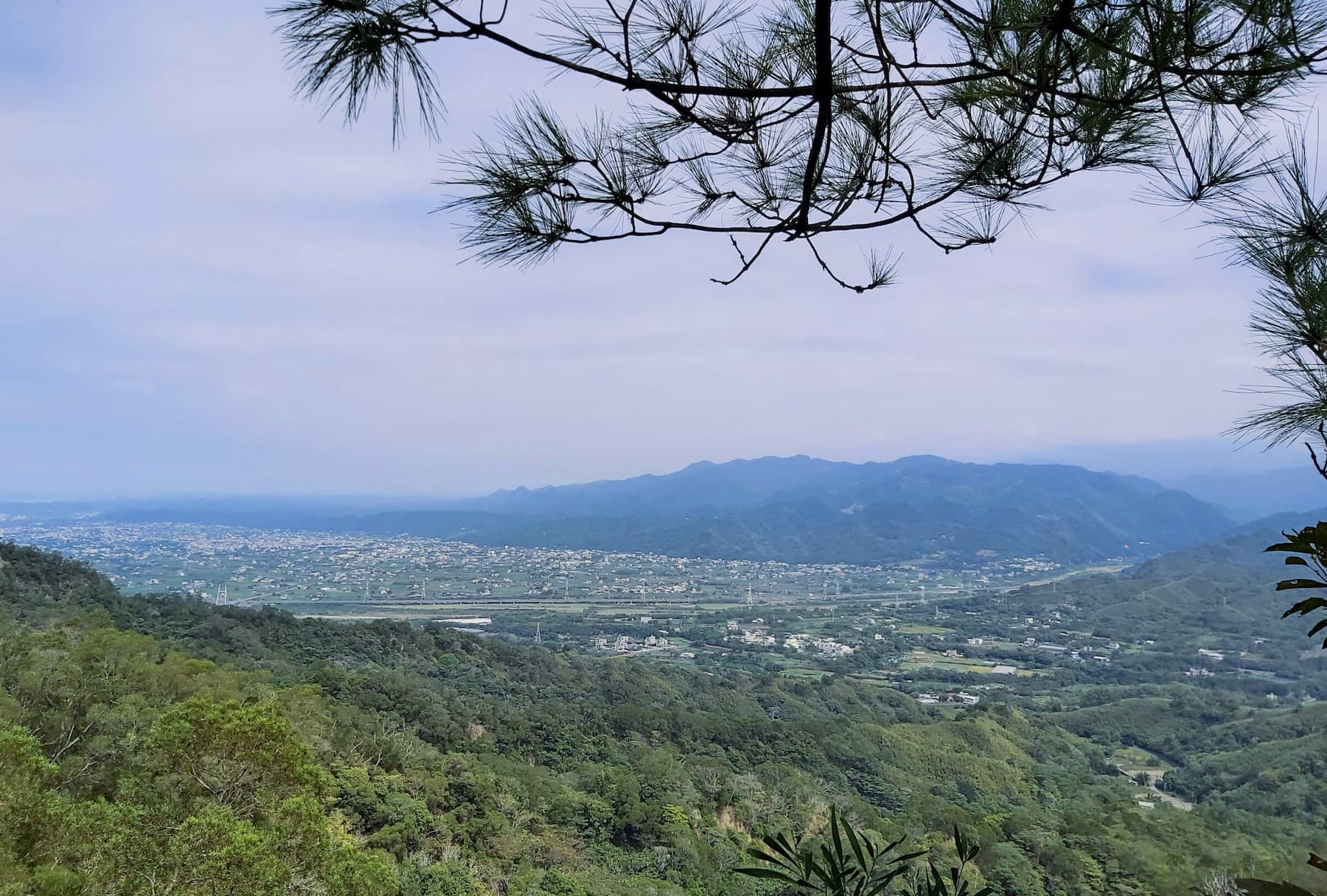
San-Yuan Hike (From Sanyi to Tongluo) 三員縱走
- Difficulty level: 2/5
- Duration: 5-6 hours
- Distance: 12 km
- Public Transport: The trailhead on the Sanyi side is very close to Sanyi Train Station. See the Sanyi Tongluo Hike.
- Note: This is a ridgeline hike and is famous for Tong Tree blossoms.
Mt. Huoyan 火燄山
- Difficulty level: 2/5
- Duration: 3-4 hours
- Distance: 6.4 km
- Public Transport: Take Miaoli Bus 5818 from Yuanli Train Station 苑裡火車站 and get off at Bogongken Stop 伯公坑站.
- Note: The sections near the cliffs are fragile and prone to collapse. Several hikers have felled to their deaths.


Trails in Central Taiwan: Taichung, Changhua, Nantou, Yulin, and Chiayi
Taichung
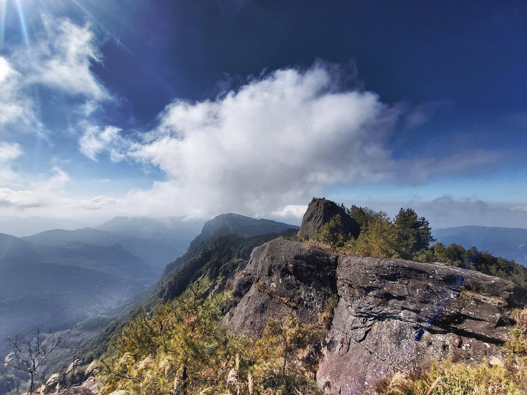
Yuanzui Shaolai 鳶嘴稍來
- Difficulty level: 4/5
- Duration: 6-8 hours
- Distance: 5.2 km
- Public Transport: Take Fongyuan Bus 252 from Dongshi Stop and get off at Yuanzuishan stop or Dasueshan National Forest Recreation Area 大雪山森林遊樂區. Fongyuan Bus 252 only runs on the weekends.
- Note: This hike is not for people who fear heights.
Dakeng Trails (12 Trails) 大坑步道
- Difficulty level: 2/5
- Duration: 2-5 hours
- Distance: 2-5 km
- Public Transport: Take Bus 66V Dakeng Route Line (Right Loop and Left Loop) 66副大坑線 (左環, 右環) from Songzhu Railway Station 松竹車站 and get off at No. 3 Hiking Trail Stop, Trail No. 2 Hiking Trail Stop, or No. 1 Hiking Trailhead. Or take SF Ebus 922 from Taichung MRT Songzhu Station and get off at Dakeng No 9.
- Note: You can do Dakeng Trail No. 1, No. 2, No. 3, No. 3-1, No. 4, and No. 5 together. You can reach Taichung's highest mountain, Mt. Touke 頭嵙山, also listed as Minor 100 Peaks. Or group Trail No. 6, No. 7, No. 8, No. 9, No. 9-1, and No. 10 together.
- Taichung's 24-Hour Toll-Free Travel Information Hotline: 0800-011765
Guguan Seven Heroes 谷關七雄
- Difficulty level: Challenging, not for newbie hikers.
- Public Transport: Take Fongyuan Bus 153 from High-speed Rail Taichung Station. Get this guide to easily reach the Guguan 7 Heroes trailheads.
- The tallest among the 7 Heroes - Mt. Baxian 八仙山: Get off at Songhe Stop 松鶴 and walk around 1.8 km to Songhe Trailhead.
- The 2nd tallest - Mt. Malun 馬崙山: Get off at Guguan Stop 谷關. Then walk around 3.5 km to the Malun trailhead.
- The 3rd tallest - Mt. Wuwowei 屋我尾山: Get off at Central Liyang Stop 中麗陽 and walk to Mt. Wuwowei trailhead. The easiest one among all.
- The 4th tallest – Mt. Bojinjia 波津加山: Get off at Guguan Stop 谷關 and walk to the trailhead of Mt. Shaolai 捎來步道.
- The 5th tallest – Mt. Dongmao 東卯山: Get off at DaDaoYuan Stop 大道院 and walk to Mt. Dongmao trailhead. Mt. Dongmao and Mt. Baimao are said to have the best views of all.
- The 6th tallest – Mt. Baimao 白毛山: Get off at BaiLuQiaoTou 白鹿橋頭站. Mt. Dongmao and Mt. Baimao are said to have the best views of all.
- The last one - Mt. Tangmadan 唐麻丹山: Get off at Lileng Stop 裡冷. Walk around 1.3 km to Mt. Tangmadan trailhead.
Changhua
Hengshan (Mt. Heng) Trail 橫山步道, aka Hengshan Sunrise Watching Trail 觀日步道
- Difficulty level: 1/5
- Duration: 1 hours
- Distance: 1 km
- Public Transport: Take Changhua Bus 6915 and get off at QingShuiYan Stop 清水岩.
- Note: Hengshan is listed as Minor 100 Peaks and can be connected to other trails to make a longer hike.
Nantou
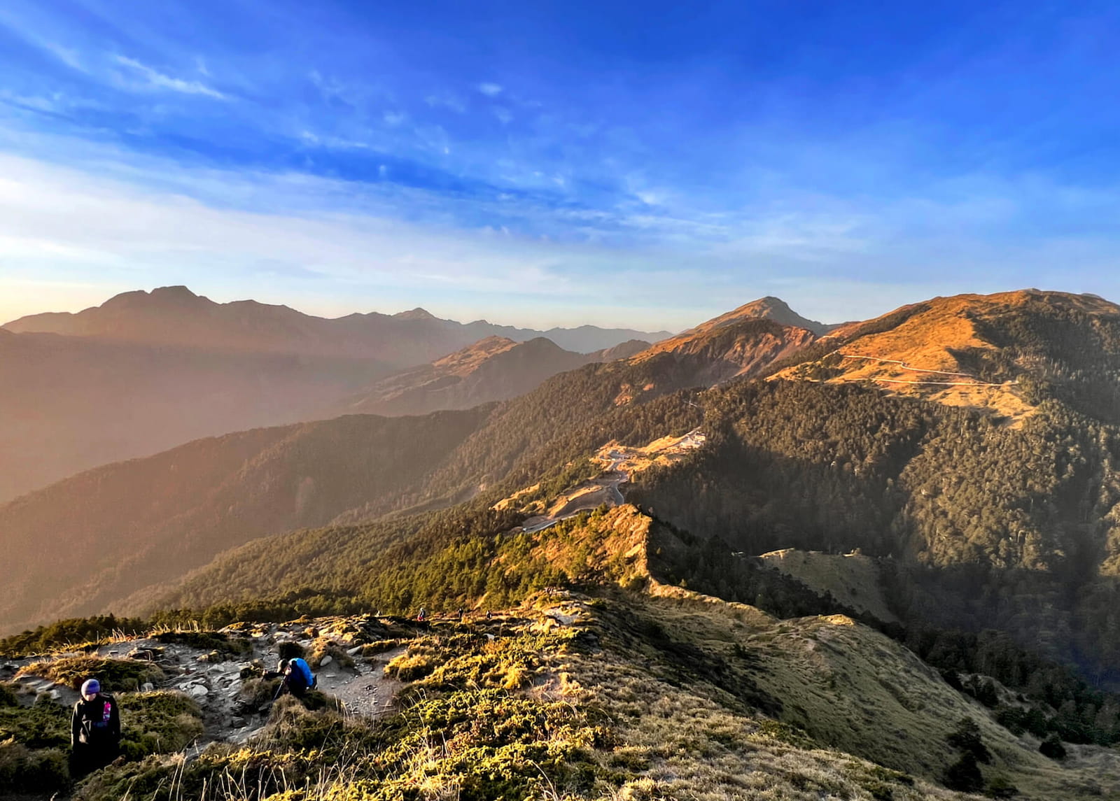
Hehuanshan Trails 合歡山
- Difficulty level: 2/5 if you only hike the Main Peak, East Peak, and Mt. Shimen 石門山.
- Duration: 1-3 hours
- Distance: 1.6 to 3.6 km
- Public Transport: See the Hehuanshan Guide.
- Note: This is a high mountain hike, but we don't need to apply for permits to do those trails. Hehuanshan Main Peak, East Peak, and Mt. Shimen are listed as 100 Peaks in Taiwan.
Mt. Jinganshu and Wangyou Forest Trail 金柑樹山、忘憂森林步道
- Difficulty level: 2/5
- Duration: 4-5 hours
- Distance: 9.4 km
- Public Transport: Take Taiwan Tourist Xitou Route (6883B) and get off at Shanlinxi 杉林溪.
- Note: Mt. Jinganshu is listed as Minor 100 Peaks.
Yunlin
Jiananyun Peak and Mt. Shibi Trail 嘉南雲峰、石壁山登山步道
- Difficulty level: 2/5
- Duration: 4-5 hours
- Distance: 6.3 km
- Public Transport: Take Bus Yunlin Caoling Route (701) from Douliu Train Station 斗六火車站 and get off at Dongbi Villa 東碧山莊. This route runs between Wednesday and Sunday. After getting off bus, walk 1.9 km to the trailhead.
- Note: This is on my to-hike list. Mt. Shibi is the highest mountain in Yulin, and also listed as Minor 100 Peaks in Taiwan. Shibi is also famous for bamboo woods, plum and cherry blossoms. It's cool in summer.
Trails in Southern Taiwan: Chiayi, Tainan, Kaohsiung, and Pingtung
Chiayi
Tashan (Mt. Data) Trail in Alishan 阿里山塔山步道
- Difficulty level: 2/5
- Duration: 3-5 hours
- Distance: 7.5 km
- Public Transport: Take Bus 108. See the Tashan Trail guide.
- Note: Mt. Data is the highest peak in the Alishan Mountain Range.
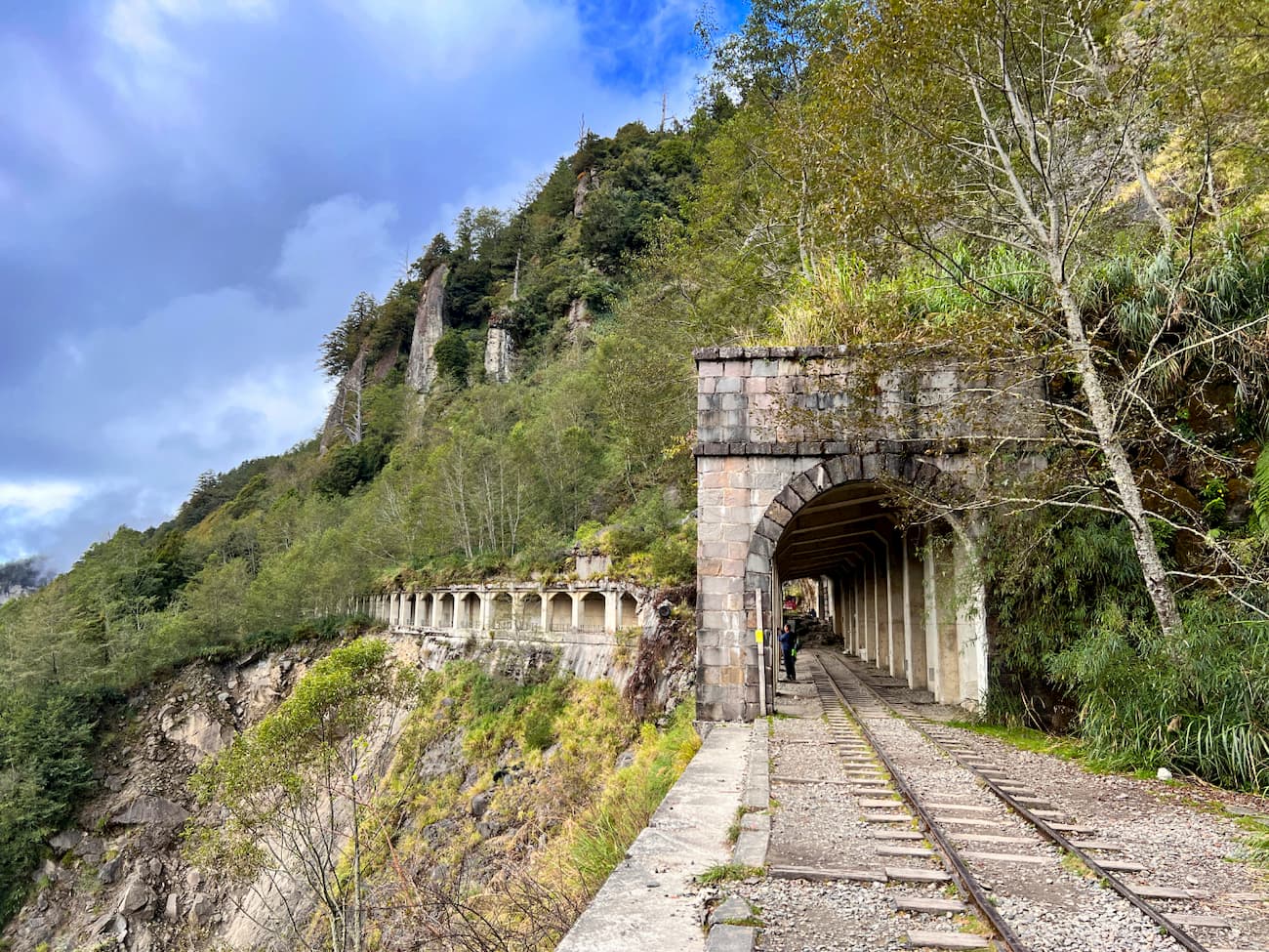
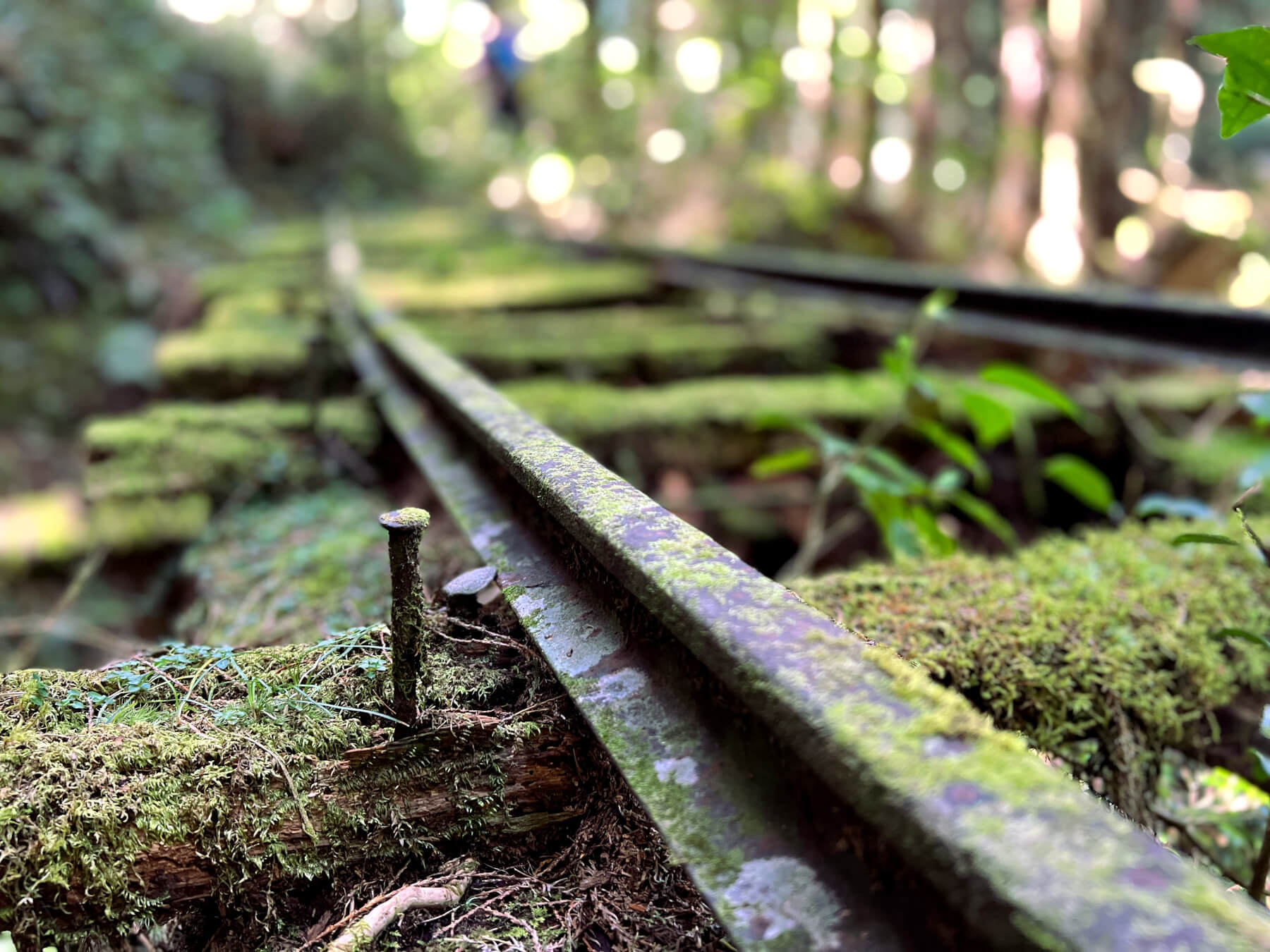
Mianyue Line in Alishan 眠月線
- Difficulty level: 2/5
- Duration: 5-7 hours
- Distance: 16 km
- Public Transport: See the Mt. Qixing guide.
- Note: Permits are required.
Tainan
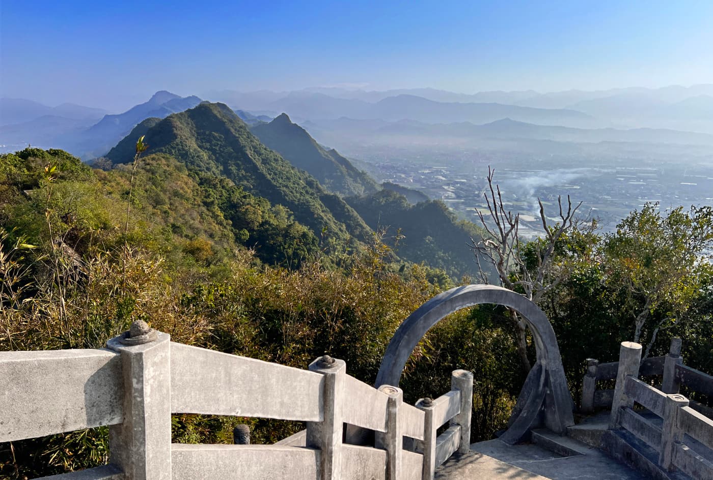
Mt. Dadong in Guanziling (Guanzihling) 關仔嶺大凍山 雞籠山
- Difficulty level: 2/5
- Duration: 4-5 hours
- Distance: 6 km
- Public Transport: Take Guanziling Route (33) and get off at Quanzihling Stop 嶺頂旅遊資訊站.
- Note: Mt. Dadong in Guanziling is the highest mountain in Tainan and is also listed as Minor 100 Peaks.
Kaohsiung
Shoushan (Chaishan) Hiking Trails 壽山 (柴山)步道
- Difficulty level: 2/5
- Duration: It depends on how long you want to go.
- Distance: The trails vary.
- Public Transport: Take Kaohsiung Light Rail and get off at Wenwu Temple Stop 文武聖殿站, and walk to the trailhead. Or take Taiwan Tourist Shuttle Bus 56 A, B or C, and get off at Shoushan Zoo.
- Note: There are military bases in Shoushan, and visitors are not allowed to enter. There will be hefty fines or even being prosecuted.

Mt. Qiwei to Lingshan from Qishan to Meinong 旗尾縱走 (旗山-美濃)
- Difficulty level: 2/5
- Duration: 4-5 hours
- Distance: 10.4 km
- Public Transport: See the Qiwei and Lingshan guide.
- Note: Mt. Qiwei is listed as Minor 100 Peaks.
Pingtung
Mt. Dashanmu (Dashanmushan) 大山母山
- Difficulty level: 2/5
- Duration: 2-3 hours
- Distance: 4.8 km
- Public Transport: Take Kuoguang Bus 9117 or 9188 and get off at Tiaoshizi Stop 跳石仔. Then walk around 1 km to the trailhead.
- Note: Mt. Dashanmu is listed as Minor 100 Peaks.

Mt. Lilong 里龍山
- Difficulty level: 3/5
- Duration: 7-8 hours
- Distance: 8 km
- Public Transport: ake bus 9117 or 9188 or take bus 1773 or 8239, and get off at Gulingxi 古苓溪 stop. Then walk around 2 km to the trailhead.
- Note: Mt. Lilong is listed as Minor 100 Peaks.
Mt. Pengji 棚集山
- Difficulty level: 3/5
- Duration: 5-6 hours
- Distance: 7.5 km
- Public Transport: Take bus 9117 or 9188 from Kaohsiung Train Station, or take bus 1773 or 8239 from Pingtung Train Station. Then, get off at Gulingxi 古苓溪 stop. Then walk around 2 km to the trailhead.
- Note: Mt. Pengji is listed as Minor 100 Peaks.
Trails in Eastern Taiwan: Yilan, Hualien, and Taitung
Yilan
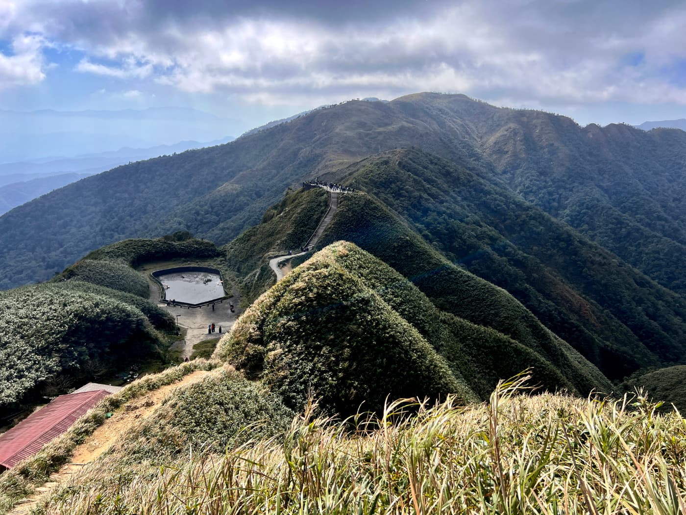
St. Marian Trail, Mt. Sanjiaolun, aka Macha Mountains 聖母山莊步道, 三角崙山
- Difficulty level: 2/5; to Mt. Sanjiaolun: 3/5
- Duration: 7-8 hours
- Distance: 13.3 km
- Public Transport: Take Bus Jiaoxi Route A (Green 11-A) from Jiaoxi Transfer Station and get off at Wufengqi Scenic Area. See the St. Marian Trail guide.
- Note: Mt. Sanjiaolun is listed as Minor 100 Peaks.
Taipingshan 太平山, Cuifeng Lake 翠峰湖, and Jancing Historical Trail 見晴古道
- Difficulty level: 1/5
- Public Transport: Take Kuokuang Bus 1750 on the weekends, and 1750A on the weekdays. See the Jancing Trail guide.
- Note: Mt. is listed as Minor 100 Peaks.
Hualien
Many wonderful trails at Taroko National Park are closed due to the devastating earthquake on April 3, 2024.
When I wrote this post, a news source said Taroko National Park plans to reopen the following trails if the construction goes well. Please note that the finished constructions do not match the dates for reopening the trails. There are still uncertainties due to the weather.
- Dekalun Trail and Datong Dali Forest Trail: The construction is estimated to finish in March, 2025.
- Changchun Shrine are 長春祠: The construction is estimated to finish in October 2025.
- Jiuqudong 九曲洞: The construction is estimated to finish in May 2025.
- Buluowan 布洛灣: The construction might be finished in October 2025.
You should check Taroko National Park's page for the trail update before you go.
Chihnan National Forest Recreation Area 池南國家森林遊樂區, Mt. Liyu (Carp) 鯉魚山, and Liyu Lake Trail 鯉魚潭
- Difficulty level: 2/5
- Duration: You can put Chihnan, Mt. Liyu, and Liyu Lake together in one hike.
- Public Transport: Take Bus 1139 from Hualien Bus Station and get off at Chinan (Chihnan) Stop or Liyutan (Liyu Lake) Stop.
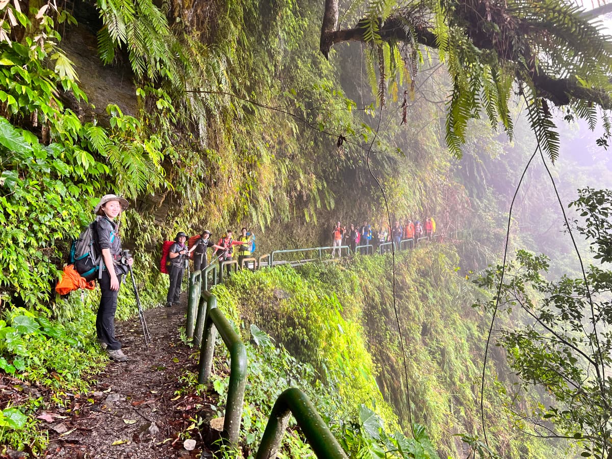
Walami Trail 瓦拉米步道
- Difficulty level: 2/5
- Duration: 10 hours or 2 days if you camp at the Walami Cabin/campsite
- Distance: 27.2 km
- Public Transport: No. The closest station is Yuli Train Station. Then, call a taxi to the trailhead. See the Walami Trail guide.
- Note: If you plan to stay at Walami oernight or hike over Jiaxi, you need to apply for a permit.
Taitung
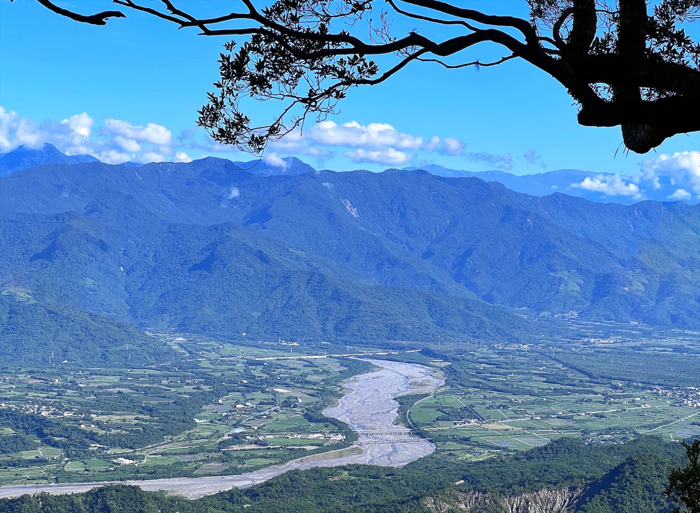
Dulanshan Trail 都蘭山步道
- Difficulty level: 2/5
- Duration: 4-6 hours
- Distance: 7.6 km
- Public Transport: No. You walk 4.2 km uphill from the bus stop Nanjunjie 南郡界 to Dulanshan trailhead. See the Mt. Qixing guide.
- Note: Mt. is listed as Minor 100 Peaks.
Mt. Balangwei 巴塱衛山
- Difficulty level: 2/5
- Duration: 1.5 hours
- Distance: 4.6 km
- Public Transport: Take Bus 8135 or 8136 from Taitung, and get off at Beilong Temple. Walk 2.3 km from the bus stop. Mt. Balangwei is next to the trailhead.
- Note: Mt. Balangwei is listed as Minor 100 Peaks.

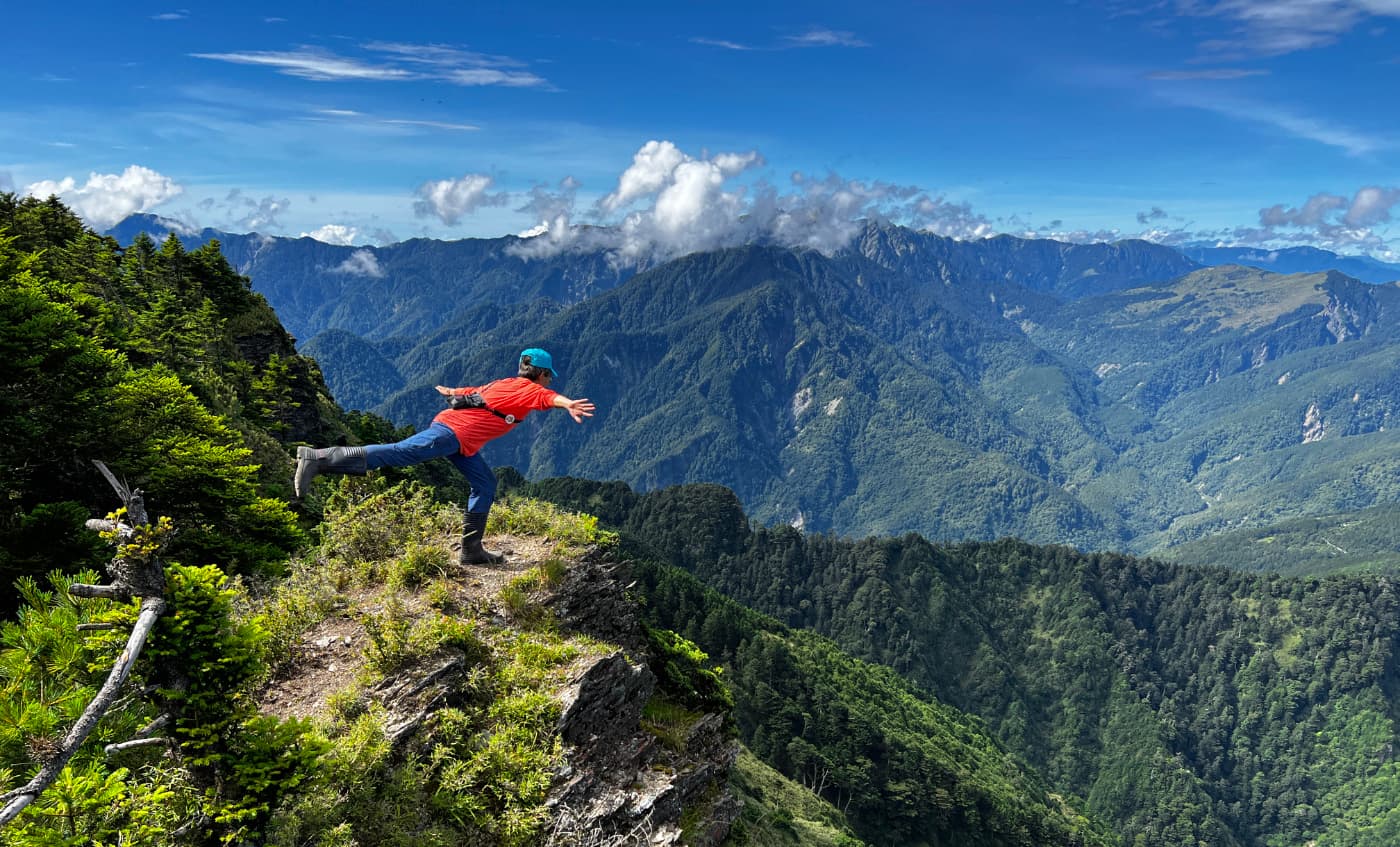
Bonus: Taiwan's Best High Mountain Trails with Must-Have Checklists
The Best High Mountain Trails in Taiwan
If you enjoy more challenging hikes at higher altitudes, here's a list of the best high mountain hikes in Taiwan, in addition to Hehuanshan. These trails can be completed in one, two, or three days, and there are catering services available to make your hiking experience easier.
- Yushan, aka Jade Mountain 玉山 - the highest mountain in Taiwan.
- Xueshan, aka Snow Mountain or Mt. Sylvia 雪山, the second highest mountain in Taiwan
- Mt. Dabajian and Mt. Xiaobajian 大小霸
- Jiaming Lake Trail 嘉明湖
- Wuling Quadruple Mountains Trail 武陵四秀
- Mt. Qilai Main and North Peak 奇萊主北
- Mt. Beidawu 北大武
- Qilai Nanhua 奇萊南華 (trail is closed for now.)
- Southern Cross-island Highway Three Stars 南橫三星: Mt. Guanshanling, Mt. Kuhanuoxin, and Mt. Taguan
You can also check out The List of Taiwan's 100 High Mountains and How to Complete 100 Peaks to plan your hikes. Or click the image below.
The Ultimate Checklists to Simplify Your Hike Planning and Permit Applications
Here's the thorough checklist that saves you hours of Googling. With those checklists, you will know what to do for your hikes within 10 minutes:
- A schedule to apply for permits and arrange your transport, accommodation, and catering service
- What to do during your hike, and more
- Gear list suggestions
- Snow season and mountain regulations
- Weather, temperature, and typhoon warnings